

One of the great things about working a split shift is the fact that I have a good chunk of spare time going free during the day. If I can drag myself away from my latest streaming addictions on Netflix etc, there’s certainly the opportunity to do something more constructive. 😁
Pendle Steps.
Although I have made it up to the summit of Pendle Hill before, I’ve never done it the short sharp shock way. The Pendle Steps are steep stone steps that cut a quickish route up to the trigg point. I say quickish, because my sister who dragged me along was very kind and let us stop frequently to admire the view. 😃
We parked roadside near Pendle House Farm so we needn’t walk up from the car park in the village. It was then a short hike along a farm track to the start of the steps. Lapwings were busy twirling and tumbling from the sky, real aerial acrobats.


Of course Pendle Hill is steeped in history which you do get a sense of whilst walking in the area. George Fox founded the Quaker movement after having an inspirational spiritual experience here in 1652 and previous to that, the infamous Pendle Witch Trials of 1612 are still ingrained in our lands myth and legend.


There was definitely a sense of achievement after having conquered The Pendle Steps. And a sense of relief!
Breakfast & Bluebells.
The other half has changed jobs and shift patterns, so it means he gets some time off during the week too. One morning we decided to try out breakfast at a newish cafe in the nearby village of Whalley. Holdens & Co are an ice cream parlour, kitchen and deli situated in the village centre. We opted for The Breakfast Sharing Board which is laden with toast, croissants, pain au chocolate and fruit loaf. Quite the carbs overload, and probably big enough for 3 to 4 people to dive into actually. Hugo the labrador was only too happy to help! Holdens is clean and bright, I loved that we grabbed a window facing table perfect for people watching and dogs are made welcome in the cafe.

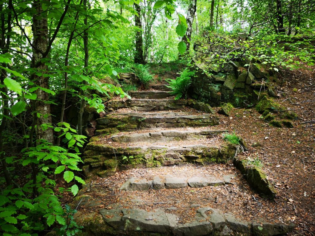
Just outside Whalley is Spring Wood & Picnic Site , a semi ancient woodland which is a lovely spot for shady walks, especially when the weather is getting hotter. Bluebells and Ramsons ( Wild Garlic) put on an impressive display here in late April & May. Below are a few photos I captured on our walk.
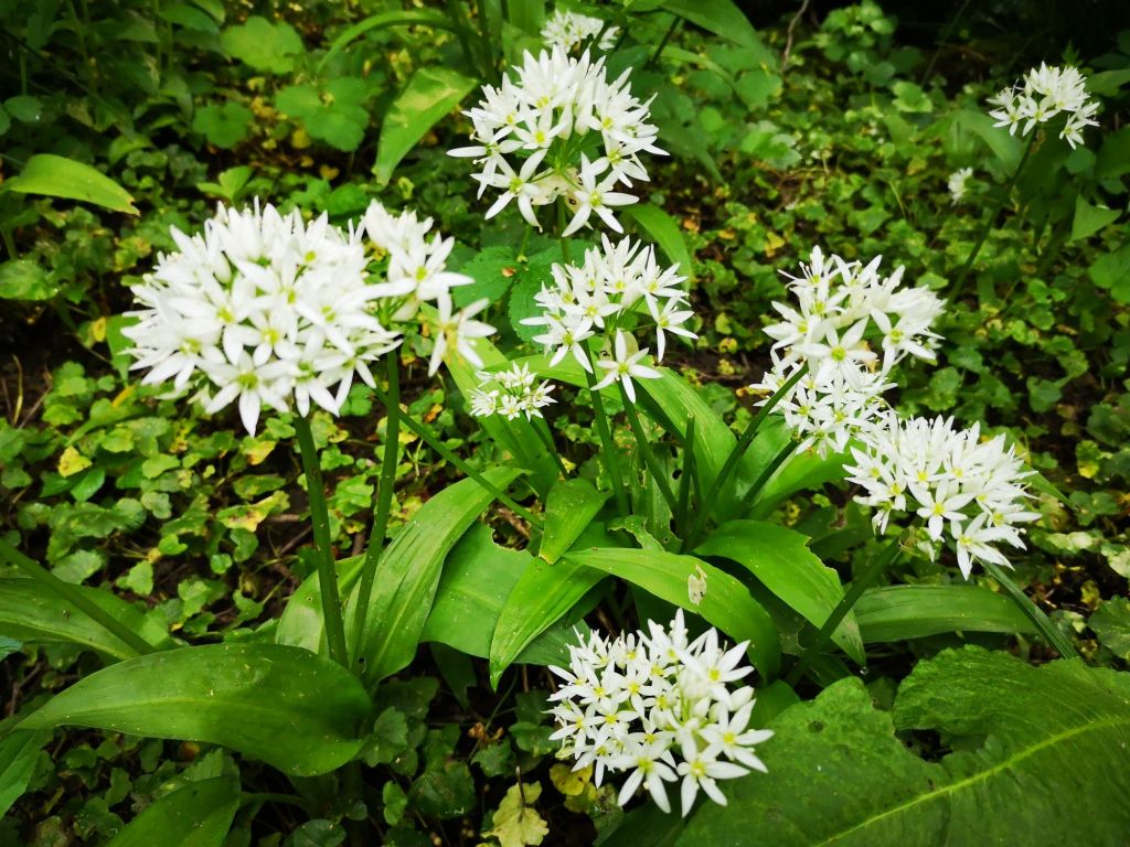


I’m pleased to have seen the bluebells as they will soon be finished for the year.
💙💙💙💙💙💙💙💙💙💙💙💙💙💙💙💙💙💙💙


